Lochran W. Traill, Karin Perhans, Catherine E. Lovelock, Ana Prohaska, Steve McFallan, Jonathan R. Rhodes, Kerrie A. Wilson
Managing for change: wetland transitions under sea-level rise and outcomes for threatened species. Diversity and Distributions. DOI: 10.1111/j.1472-4642.2011.00807.x
Abstract
Aim Global sea-level rise (SLR) could be as much as 1.8 metres by 2100, which will impact coastal wetland communities and threatened species. We evaluated the likely outcomes of SLR for wetland communities using a process-based simulation model and coupled this with a metapopulation model for a threatened native rodent (Xeromys myoides). Furthermore, we tested the amplified impacts of SLR, urban growth and introduced predators on X. myoides persistence.
Location South-east Queensland, Australia.
Methods We adapted the Sea Level Affects Marshes Model to subtropical Australia. We used LiDAR elevation data, field data to parameterize surface accretion and shallow subsidence, and local knowledge to configure wetland transitions. SLR was simulated based on the IPCC B1 and A1FI scenarios, as well as the maximal limit of 1.8 m by 2100. Further, we coupled our demographic model to projected shifts in wetland habitat, and estimates of future wetland loss to urban expansion and feral cat (Felis catus) predation.
Results Our models project a general decline in wetland communities under SLR, with a noted exception of mangroves. Under the A1FI scenario, SLR allows mangroves to migrate inland, with urban development acting as an obstruction in some areas. Mangrove expansion provides an unexpected benefit for dependent X. myoides populations, although the inclusion of predation and habitat loss due to urban development still suggests extirpation in c. 50 years.
Main conclusions Through this case study, we illustrate the usefulness of process-based SLR models in understanding outcomes for wetland communities and dependent species. Our models will underscore decision-making in a dynamic system, with global applications for urban planning, conservation prioritization and wildlife management.
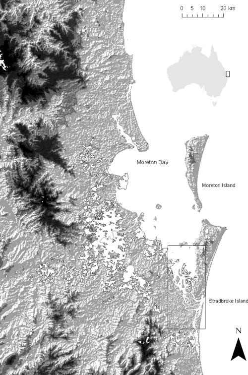
Figure 1. Outline of study area, South-east Queensland (SEQ) Australia, indicated with black box inset. Broad figure shows SEQ for context, indicating elevation, main urban areas (white) and major river systems (grey). Study restricted to the insert area due to memory limitations imposed by the size of the LiDAR elevation data.

You must be logged in to post a comment.